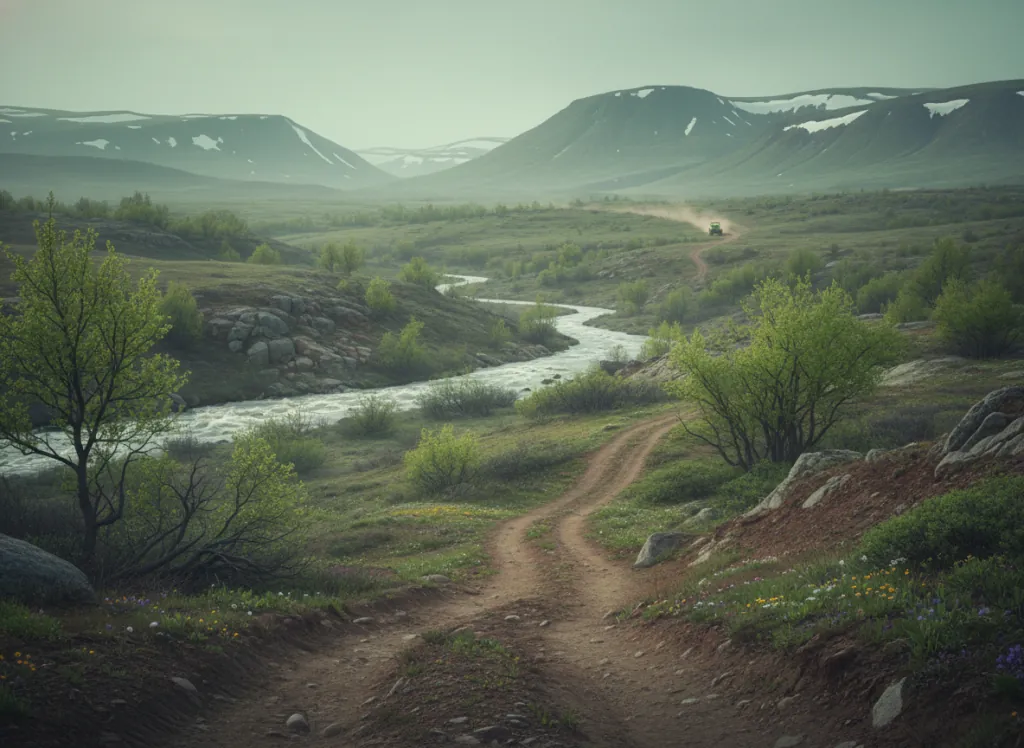
The Sam Houston National Forest encompasses 163,000 acres of the East Texas Pineywoods in Walker, San Jacinto, and Montgomery counties, the national forest closest to the Houston metropolitan area and one of the most accessible pieces of public-land OHV terrain in Texas, positioned approximately 60 miles north of downtown Houston on the Sam Houston Parkway/I-45 corridor. The OHV trail system operates on designated routes through the forest's Raven and Lone Star districts, threading through the loblolly pine and mixed-hardwood forest of the West Gulf Coastal Plain on terrain that serves the massive Houston OHV market, the fourth-largest metropolitan area in the United States, without the two-to-three-hour drive to the Angelina/Davy Crockett systems to the north. The Lone Star Hiking Trail, the 128-mile long-distance foot trail that traverses the forest's full east-west extent, defines the forest's backcountry core; OHV designated routes operate in the surrounding managed forest on both sides of the trail corridor. The forest landscape is characteristic East Texas Pineywoods: loblolly pine plantation and second-growth mixed pine-hardwood on the upland sandy soils, bottomland hardwood in the creek drainages, and the Caney Creek and West Fork San Jacinto River corridors providing the clear-water Pineywoods streams that contrast with the muddy coastal rivers to the south. Lake Conroe, the major reservoir on the West Fork San Jacinto River at the forest's southern edge, provides lake recreation infrastructure for the Houston market combining OHV with boating. The Sam Houston is the most Houston-proximate national forest OHV destination in Texas. Raven Ranger District at Huntsville (936-344-6205) manages current OHV designations.
Hours
Open year-round on designated OHV routes. No day-use fee on National Forest land. Texas does not require OHV registration on National Forest roads.
Phone
936-344-6205Trip openings, seasonal updates, and the occasional deal, straight to your inbox.
FAQ
Everything you need to know before you get started.
Have a question, or ready to book? Reach out and we’ll get right back to you.